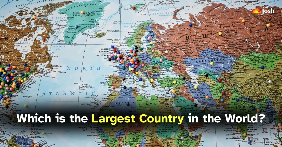
New Delhi — With 195 recognized countries across the globe, land distribution remains a key factor in geopolitical influence, resource access, and environmental diversity. According to Worldometer data, the ten largest countries by area collectively account for over half of the Earth’s landmass, each offering unique geographic, cultural, and strategic significance.
Russia tops the list with a staggering 17.1 million square kilometers, spanning two continents and 11 time zones. Its vast terrain includes tundras, forests, and mountains, though much of it remains sparsely populated. The country’s land area alone comprises 11 percent of the world’s total landmass.
Canada ranks second with nearly 10 million square kilometers. Known for its extensive forests and freshwater lakes, Canada also boasts the longest coastline globally. Its population is concentrated near the U.S. border, while the northern regions remain largely untouched.
China, the third-largest by area, covers 9.7 million square kilometers and is the most populous country in the world. Its diverse geography—from deserts to mountains—supports a wide range of ecosystems and regional cultures.
The United States follows closely with 9.37 million square kilometers, including Alaska, Hawaii, and overseas territories. Its varied landscapes—from arid deserts to tropical coasts—contribute to its agricultural and economic diversity.
Brazil, the largest country in South America, spans 8.5 million square kilometers and hosts the Amazon Rainforest, the planet’s most biodiverse region. Its terrain includes plateaus, coastal plains, and vast river systems.
Australia, the sixth-largest, is both a country and a continent. With 7.69 million square kilometers, it features arid interiors, coastal cities, and unique wildlife. Its isolation has fostered distinct ecological systems.
India ranks seventh with 3.29 million square kilometers. Despite its smaller land area compared to others on the list, its population density and geographic diversity—from the Himalayas to coastal deltas—make it a major global player.
Argentina, Kazakhstan, and Algeria round out the top ten, each exceeding 2.3 million square kilometers. Argentina’s varied climate supports agriculture and tourism, Kazakhstan’s mineral-rich steppes drive its economy, and Algeria’s Sahara-dominated landscape defines its geographic identity.
Understanding these spatial dynamics offers insight into how geography influences national priorities, environmental stewardship, and global strategy. Land area may not determine power alone, but it remains a foundational element in shaping a country’s role on the world stage.